
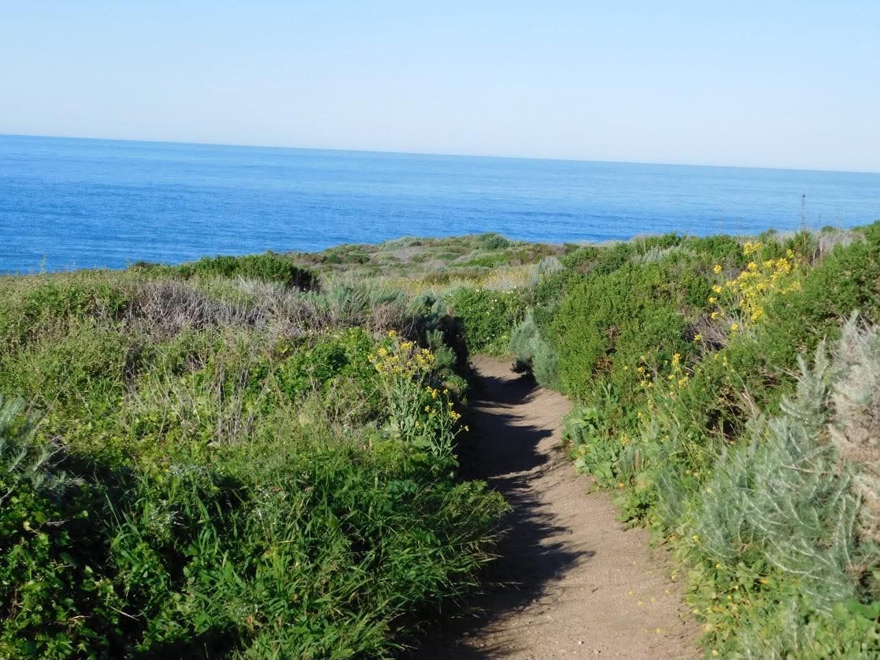
9 Must-Visit Stops on Your Big Sur Road Trip
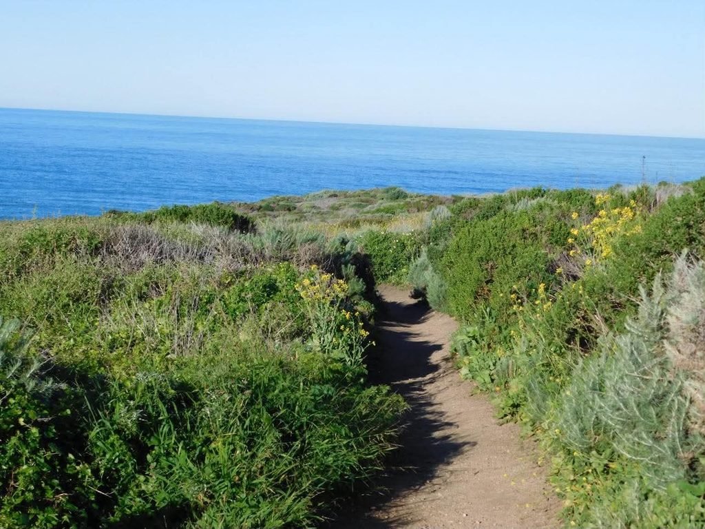
A road trip through Big Sur, California, is a dream that came true for me this year. After years of waiting around for others, I decided that I didn’t want to miss out on experiences just because I’d be by myself.
This is where the idea to take a solo trip came from, and on an impulsive whim, it came to fruition in March when I set off for Northern California.
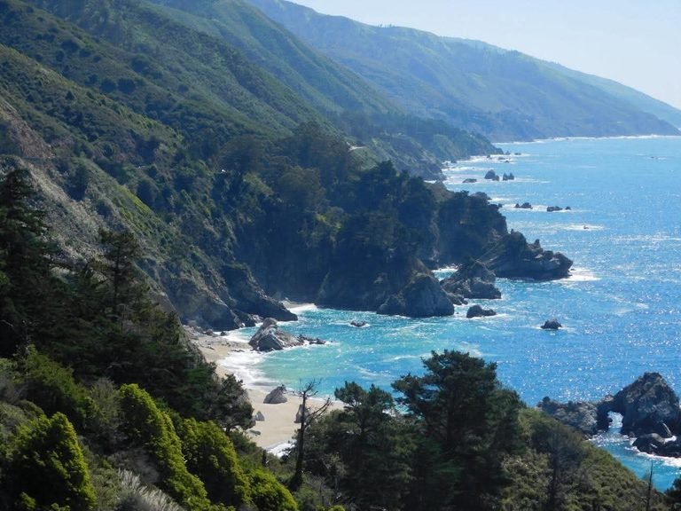
On a trip that included both San Jose and San Francisco, Big Sur was easily the highlight. Between the dramatic views, the inland woodlands, and all the critters you see in between, the Central California Coast stole my heart.
Though a car is necessary to make the 2.5-hour drive from San Francisco and gives you the ability to stop at whatever random viewpoint catches your eye, this road trip is pretty easy and straightforward since all the attractions are along Highway 1.
Planning a trip to Big Sur? Here’s everything you need to know, from logistics and music recommendations to the 9 must-visit spots along Highway 1 that will make your Big Sur road trip nothing short of magical.
Know Before You Go
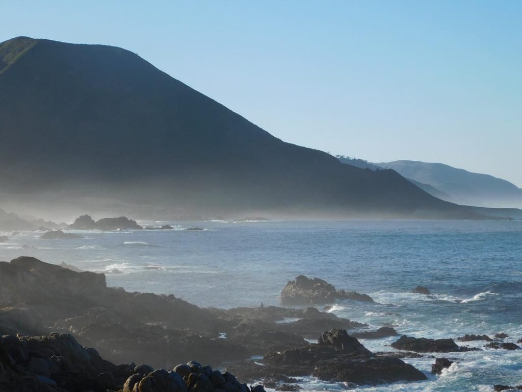
Even though many of the attractions in Big Sur are along the highway, there are a few things you should be aware of so you can spend more time taking in the views and less time worrying about the logistics.
How to Get There: Roughly 2.5–3 hours from San Francisco International Airport (SFO), depending on traffic. San Jose is closer, at about 1 hour and 45 minutes away.
How Long You Need: 1–2 days, depending on your travel style and preferences.
Will You Need a Car? Absolutely. A car is a necessity and gives you the freedom to stop at every pullout that grabs your attention.
Cell Service: Cell service is widely unavailable for most phone carriers the further you get from Carmel, CA. Make sure to download your map, music, and a guided audio tour before losing service.
Gas Stations: While there are gas stations located in Big Sur, fuel is significantly more expensive than in nearby areas like Carmel and Monterey. I’d recommend filling up before visiting.
What to Pack: This depends on the time of year you decide to visit. I went in March and spent both days in either a long sleeve or sweatshirt. Summer months allow for warmer temperatures, but the coast can still be chilly, so I’d recommend at least bringing a light jacket. Sensible shoes are also a must for any hiking or unpaved trails. (I found this out the hard way.)
When to Visit: While people visit at all times of the year, winter and spring can bring unpredictable weather and fog. However, as stated above, I visited Big Sur in March, and to me, it was the perfect weather. This is also a great time for seal pup birthing and calla lilies in the valley. For warmer weather, the summer and fall are a great time to visit as well, but the crowds might be significantly larger.
Highway 1 Considerations: Highway 1 can experience temporary closures due to wildfires, landslides, weather, and road work, so always check current road conditions before your trip.
State Park/Beach Fees: Places like Point Lobos, California State Parks, and Pfeiffer Beach have separate fees ranging from $10–15.
The Big Sur Road Trip Playlist
Before we get started… every road trip needs a playlist! Here are the top 5 songs I listened to while driving through Big Sur.
- Amber by 311
- California by Phantom Planet (for the OC lovers, except you’re nowhere near the OC)
- The Spins by Mac Miller
- Island in the Sun by Weezer
- Tongue Tied by Grouplove
The 9 Must-Visit Stops in Big Sur
Many of these stops came from research I did prior to my Big Sur road trip, while others were found along the way or recommended to me through the GuideAlong Big Sur audio tour.
These GPS based tours allow you to download the map and provide lesser known stops and information throughout Big Sur, even without cell service.
Point Lobos Natural Reserve
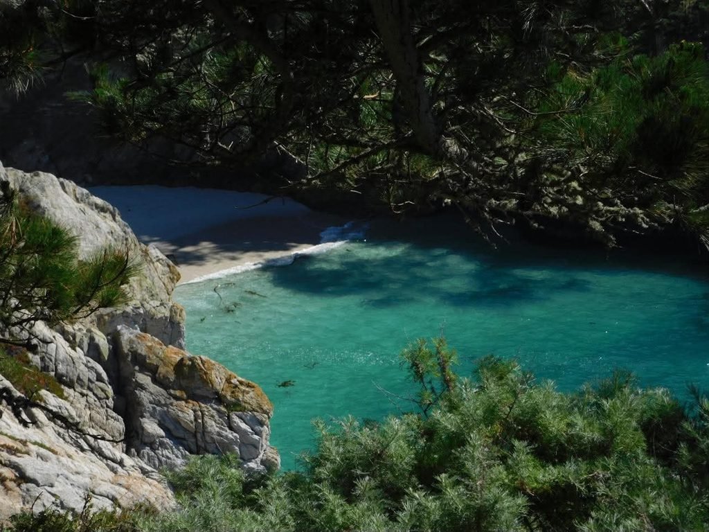
Point Lobos Natural Reserve was my first real taste of the Central California coast, and I will always remember finally making it up the trail and seeing Gibson Beach for the first time.
Coming into the trip, I knew I wanted to see two places: China Cove and Cypress Grove. These are arguably the most popular attractions in the reserve, but be aware, these spots are on opposite sides of the park.
Because of this, I would highly suggest paying the $10 parking fee to park and utilize your car inside the reserve. It makes traveling from spot to spot much easier.
Unfortunately, I got there at 1:30 PM on a Friday afternoon, and the gates were closed due to the lots being full.
If this happens, you can park alongside Highway 1 for free and enter via the trails, but it does take more time and energy to walk the trails.
If you are in a time crunch, I suggest getting there early. I spent most of my time walking from spot to spot and had to cut my visit short, missing out on Cypress Grove because I didn’t have enough time.
Want the full breakdown? Check out my Point Lobos Guide for everything you need to know before visiting.
Calla Lily Valley
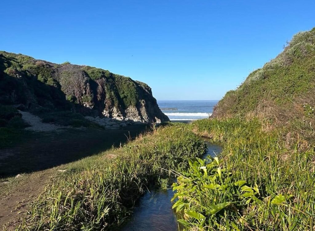
Day 2 in Big Sur started at Garrapata State Park, a place with a nice mix of ocean side and inland trails. I didn’t know much about the park going into this trip, but I knew I wanted to stop at Calla Lily Valley.
A dirt trail leads you from Gate 18 on Highway 1 into the valley, where calla lilies are typically in bloom from January to April. On my visit in March, there were only a few lilies in bloom, so I didn’t get the full experience.
A short, narrow plank can be used to cross a small stream, giving way to our next stop, Garrapata State Beach. Thankfully, I made it across easily since it was pretty sturdy.
Garrapata State Beach
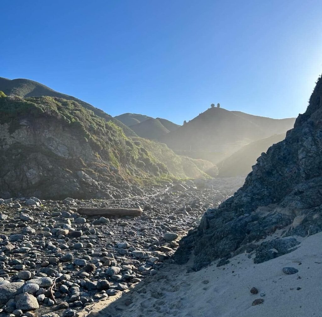
Just a short walk away from Calla Lily Valley is Garrapata State Beach, a place worth the stop even if the lilies aren’t in bloom. I got there around 8 AM and had the beach to myself for a while.
There is plenty of space to chill out in a quiet spot on the sand, and if you have time, you can follow other trails from the beach throughout the park. I personally set my phone up on a rock and took some selfies after exploring the beach.
Out of all the places mentioned in Big Sur, this is a spot where sensible shoes are a must. The trail leading down from the road slopes into the valley, both via trail and stairs. Once past the valley, you have to navigate some rocky terrain before reaching the sand.
While the trail is considered easy for most individuals, it can be overgrown and uneven. I personally misstepped and ended up in the bushes.
Poison oak is also prevalent along the trail, so be cautious as you make your way through. I was lucky to avoid it during my fall.
Bixby Bridge
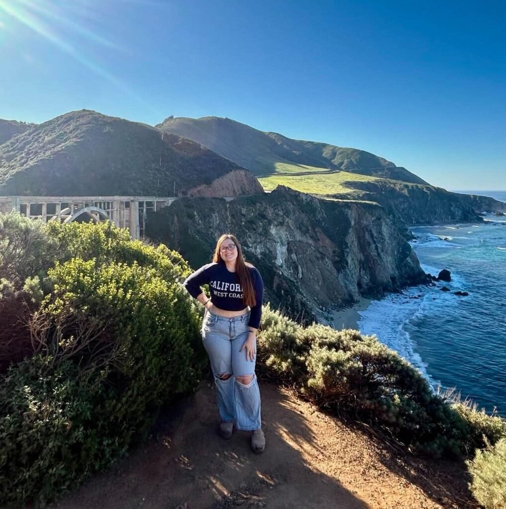
I arrived at Bixby Bridge around 8:45 AM with a now-injured arm and a camera full of dead batteries. However, the view made up for it all.
Even early in the morning, there were several cars parked in the small paved pull-off. As the day goes on, the area gets more congested. I found this out the hard way on my way back to Carmel later in the day.
Parking lots on both sides of the bridge were full, and cops were there trying to direct traffic. Be aware that the time of day may cause delays in traffic and could impact your experience.
During my initial visit, I met a young couple who asked me to take their photo. They took mine in return, which saved me from having to set up my tripod.
Big Sur River Inn
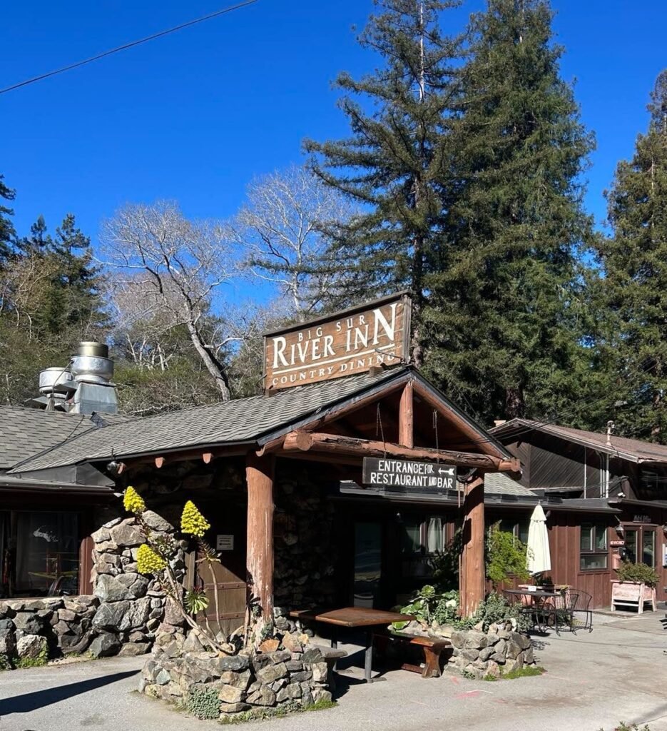
In hopes of finding a fresh set of batteries, I stopped at the first store in Big Sur that I could find: Big Sur River Inn.
The inn also has a general store and a country restaurant on the property, giving everyone who visits something to enjoy. As I got out of my car to head into the general store, I noticed some sand art that was roped off for viewing.
If I had more time, I would have taken the time to grab some food at the country diner and take a seat in the river. Yes, literally in the river. The inn has chairs set up in the water out back to give guests a little time to relax before hopping back on Highway 1.
Pfeiffer Big Sur State Park
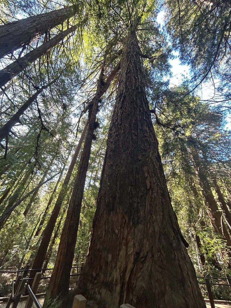
I’m going to be honest: while this can be a must-visit spot for others, this is something I would cut based on my personal preferences. Pfeiffer Big Sur State Park is an inland state park known for its redwoods, hiking trails, and camping grounds.
Some popular trails include the Nature Trail, Pfeiffer Falls Trail, and Buzzard’s Roost Trail. Each hike increases in difficulty. However, depending on the time you have, these could be longer than you want to spend here.
It is $10 per vehicle for a day pass to the park if you are not staying at the lodge on site. However, this day pass provides access to other California state parks, including the famous Julia Pfeiffer Burns State Park a short drive south.
The park has multiple parking lots, and I settled for the closest one to the entrance, where I walked along the river to check out the redwoods. There weren’t many people in the park when I went, so I got to spend some time taking pictures that no one else will ever see!
This was a pretty short stop for me, but you could make a whole day of exploring. If you are someone who wants coastal views, you could skip this stop. I would if I were to go back, since this isn’t exactly what I was looking for.
Pfeiffer Beach
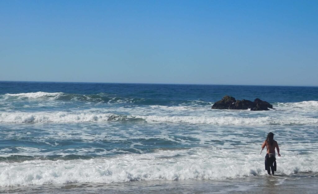
Pfeiffer Beach, located a few short miles past Pfeiffer Big Sur State Park, is easy to miss if you aren’t careful. Its lack of signage caused me to drive right by even though I was looking for my turn.
Thankfully, I was using my GuideAlong Big Sur audio tour, which helped me turn around and head down toward the beach.
Forewarning, the road to Pfeiffer Beach is a one-way, narrow road where approaching cars must pull off for passing vehicles.
RVs and trailers are not allowed on this road, but there is a designated parking lot at the bottom for all other vehicles.
You do have to pay $15 to enter, which confused me at first. I was under the impression that the $10 state park pass covered this as well, but they are two separate entities. However, the $15 was worth it for me because this became my favorite part of my Big Sur trip.
This was the most crowded spot I had come across yet, and it was still relatively early in the day. Think 10 AM with a full parking lot and plenty of people spread out across the beach. Still, I didn’t feel uncomfortable or like I didn’t have my own space.
There were people checking out the few purple sand spots they could find, surfing, fishing, and checking out Keyhole Arch. I took some time to set up my tripod and take a few pictures with the rocky cove in the background.
Henry Miller Memorial Library
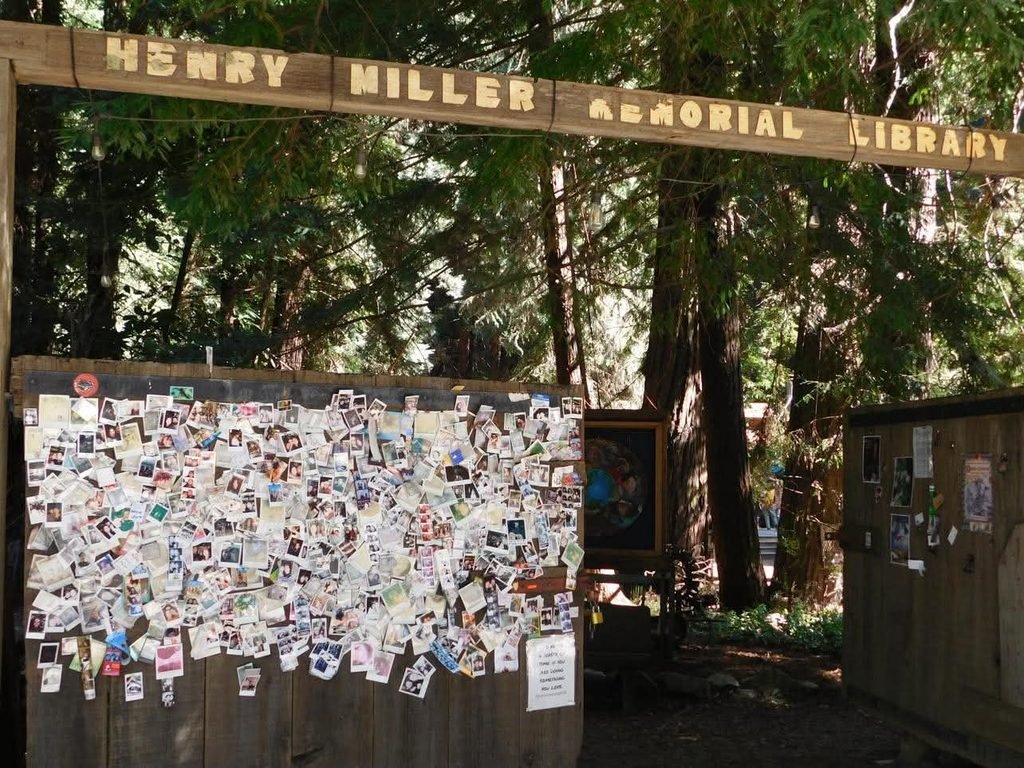
A little farther south, you will find the Henry Miller Memorial Library. This was my final stop in Big Sur after turning around at McWay Falls, the southernmost point of my trip.
This library houses local artists, Polaroids left by previous visitors, poetry written by guests, art installations, and a vibe that makes you feel like you’ve stepped into a magical tree house in the woods.
Even though I didn’t buy anything, I really enjoyed checking out the property, where it felt like you could find art both intentionally and in what was left behind. For bookworms and non-readers alike, there is something special to appreciate about this place.
McWay Falls
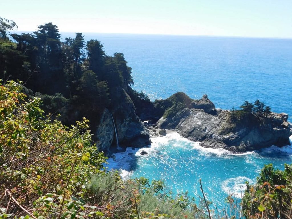
Like I mentioned above, McWay Falls is where I decided to end my southern expedition of Big Sur and turn around. Just outside Julia Pfeiffer Burns State Park, there is a parking lot that overlooks the rugged coastline and gives you a glimpse of McWay Falls.
I stopped because the parking lot seemed like a great spot for pictures, but I ended up seeing a lizard and the same lady I had previously seen painting at China Cove in Point Lobos. I felt like this was such a nice way to end my trip in Big Sur, with it all coming full circle.
Still, I wanted to get a closer look at McWay Falls. You can go into Julia Pfeiffer Burns State Park, especially if you already paid for the California state park day pass, but it is not necessary to see the 80-foot waterfall.
I parked alongside the road like many others and walked down to a pedestrian pullout. This spot allowed visitors to safely get off the road and have a space to take photos and watch the waterfall spill onto the beach below.
There is no beach access to McWay Falls, so I felt like this was a good enough place to take it in. It was a great end to Big Sur, and people were so friendly, offering to take my pictures if I could take theirs as well.
These moments really showed me that people are inherently kind, and we are all excited to be here to experience new things.
I personally think that is what is so special about travel. Yes, you can see more of the world, but I think you also understand so much more about people and ultimately yourself.
Was Big Sur Worth It?
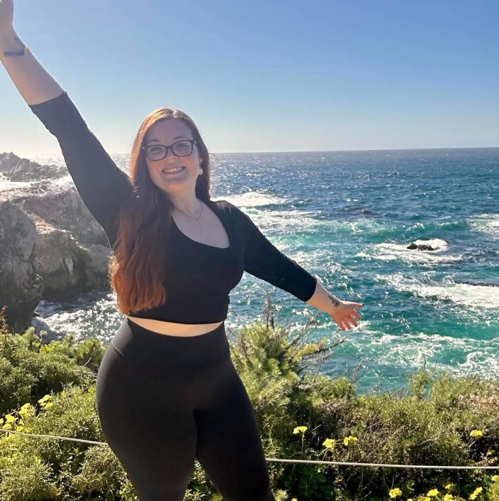
Yes, 1000 times yes. Big Sur made my trip. The awe I felt driving along the coast is something that I hold dear to my heart. Certain songs will come on, and I am right back in that car, tearing up because it’s really just that beautiful. My soul was utterly filled, and this was honestly the least stressful part of my trip. If I were to go back, I would spend all four days in Big Sur and the surrounding areas.
There is so much to see and do in Big Sur, Carmel-by-the-Sea, and Monterey that you could stay for days and still not get your fill. Whether you want to be on the go or just relax by the beach and take in the views, Central California has something for you.
If you want to know about all the highs, lows, and every memory I made in between during my Big Sur road trip, take some time to read my Big Sur Travel Journal.
3 Comments